Live Cams
Countries
Featured Cams
Get A Cam
Live Cams
Countries
Featured Cams
Get A Cam
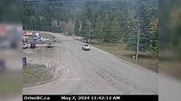
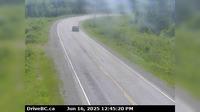
Sandspit › South-East: Airport | Live Webcams
Webcam & Weather Report
See.cam
North America
CA
British Columbia
Sandspit
Sandspit › South-East: Airport
Current Still
Timelapse
Daylight Still
Webcam was last updated 1 years ago
Rating
Webcam Views
Map
Discuss
See more webcams in
British Columbia
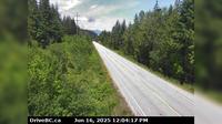
Area B › North: Hwy 23, about 30 km south of Revelstoke and 22 km north of Shelter Bay Ferry, looking north
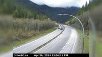
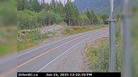
Area B › North: Hwy 5, by northbound Portia Chain Up, looking north
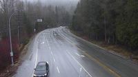
Malakwa › East: Hwy 1, east of Sicamous at Cambie/Solsqua Roads, looking east
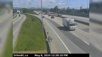
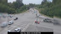
Delta › East: Hwy 91A at Gifford Street, looking east
Elkford › East: Hwy 43 at Fording River Road in - looking east
Anniedale › North: Golden Ears Way at 96 Avenue Connector, looking south
Area I › South-West
Smithers: Airport SE
Alpine Meadows › North: Hwy 99 at Alpine Way, looking north
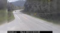
Woss › South-East: Hwy 19, Tsitika, 101 km north of Campbell River and about 27 km south of - looking south-east
Area C › South: Hwy 27, about 12km south of Fort St. James at Spencer Pit, looking south
Delta › North: Hwy 17A, about 0.5 km south of Hwy 10 intersection in - looking north
Explore by Continent
Europe
Asia
South America
Oceania
North America
Africa


Discuss