Live Cams
Countries
Featured Cams
Get A Cam
Live Cams
Countries
Featured Cams
Get A Cam
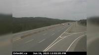
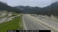
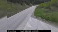
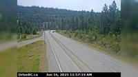
Area C › South: Hwy 27, about 12km south of Fort St. James at Spencer Pit, looking south | Live Webcams
Webcam & Weather Report
See.cam
North America
CA
British Columbia
Area C
Area C › South: Hwy 27, about 12km south of Fort St. James at Spencer Pit, looking south
Current Still
Timelapse
Daylight Still
Webcam was last updated 1 years ago
Rating
Webcam Views
Map
Discuss
See more webcams in
British Columbia
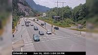
Spaxomin › North: Hwy 5, 24 km north of Merritt at Helmer Interchange, looking north
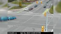
Northridge › South: Hwy 99 at Valley Drive, looking south
Area D › North
Delta › North: Hwy 99, north of Hwy 17A overpass, looking north
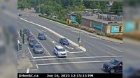
Saanich › North: Hwy 1 at Tillicum Rd, looking north
District of North Vancouver › North: Hwy 1 (Upper Levels Highway) at Capilano Rd. looking north
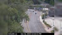
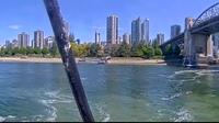
Vancouver › North: False Creek Fuels
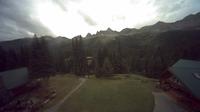
Fernie: Island Lake
Fraser Valley Regional District › South: , Hwy , northbound at Zopkios Rest Area, near the Coquihalla Summit looking south
Mission › North: Hwy 7 at Hwy 11 approaching - looking north
Area A › South: Hwy 95, near Quinn Creek, about 31 km north of Brisco, looking south
Monte Creek › South: Hwy 97 at the - brake check, looking south
Explore by Continent
Europe
Asia
South America
Oceania
North America
Africa


Discuss