Live Cams
Countries
Featured Cams
Get A Cam
Live Cams
Countries
Featured Cams
Get A Cam
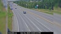
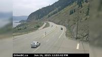
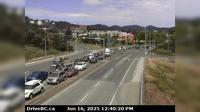
Area B › South: Hwy 5, near Box Canyon Chain-up Area, looking south | Live Webcams
Webcam & Weather Report
See.cam
North America
CA
British Columbia
Area B
Area B › South: Hwy 5, near Box Canyon Chain-up Area, looking south
Current Still
Timelapse
Daylight Still
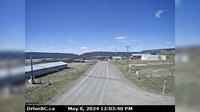
Webcam was last updated 1 years ago
Rating
Webcam Views
Map
Discuss
See more webcams in
British Columbia
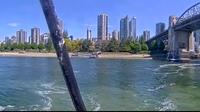
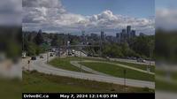
Vancouver › North: False Creek Fuels
Prince George › West: Hwy 97 at Hwy 16 in - looking northbound on Hwy
Township of Langley › West: Hwy 1 at 232nd St. overpass, looking west
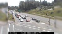
Surrey › South-East: Hwy 17 at 104th Avenue looking southbound
New Westminster › East: Hwy 91A, north end of Queensborough Bridge, looking east
Summerland › South: Hwy 97 at Callan Rd, about 6 km north of - about 15 km south of Peachland. Looking south
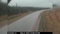
Peace River Regional District › North: , Hwy , about km south of the Sikanni River Bridge and about km north of Fort St. John, looking north
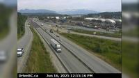
New Westminster › East: Hwy 17 (South Fraser Perimeter Rd) at Tannery Rd Overpass in Surrey, looking east
Area B
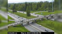
Langford › North: Hwy 1 at the Millstream Interchange, looking north
Alexis Creek › West: Hwy 20, in - at Stum Lake Rd, looking west
Area A › North
Explore by Continent
Europe
Asia
South America
Oceania
North America
Africa


Discuss