Live Cams
Countries
Featured Cams
Get A Cam
Live Cams
Countries
Featured Cams
Get A Cam
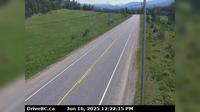
Township of Langley › South: Hwy 1 eastbound on-ramp from 232nd St, looking south | Live Webcams
Webcam & Weather Report
See.cam
North America
CA
British Columbia
Township of Langley
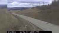
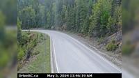
Township of Langley › South: Hwy 1 eastbound on-ramp from 232nd St, looking south
Current Still
Timelapse
Daylight Still
Webcam was last updated 1 years ago
Rating
Webcam Views
Map
Discuss
See more webcams in
British Columbia
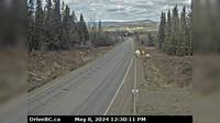
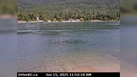
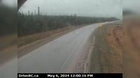
Charlie Lake › South-West: Hwy 29, 29 km west of Ft. St. John, looking southwest
Topley › West: On Hwy 16, 39 km west of Burns Lake looking west
Mission › East: Hwy 7 at Hwy 11 approaching - looking east
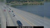
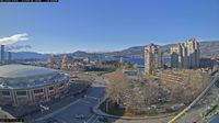
West Kelowna › West: Mid span of WR Bennett Bridge connecting Kelowna and - looking west
Harrop › North: Ferry Landing on the south side of Kootenay Lake, looking north
Area B › North-East: Hwy 5, about 18 km northeast of Vavenby, looking northbound
Mission › North: Hwy 7 at Hwy 11 approaching - looking north
Kelowna › South-West
Lumby › East: Hwy 6, Shuswap Hill west of Cherryville, looking east
Peace River Regional District › North: , Hwy , about km south of the Sikanni River Bridge and about km north of Fort St. John, looking north
From Long Beach Lodge
Area J › North-East: Hwy 97D (Logan Lake/Lac le Jeune Rd) at Hwy 5, looking northeast
Explore by Continent
Europe
Asia
South America
Oceania
North America
Africa


Discuss