Live Cams
Countries
Featured Cams
Get A Cam
Live Cams
Countries
Featured Cams
Get A Cam
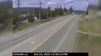
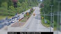
Vanderhoof › East: Vanderhoof Airport (CAU4) | Live Webcams
Webcam & Weather Report
See.cam
North America
CA
British Columbia
Vanderhoof
Vanderhoof › East: Vanderhoof Airport (CAU4)
Current Still
Timelapse
Daylight Still
Webcam was last updated 1 years ago
Rating
Webcam Views
Map
Discuss
See more webcams in
British Columbia
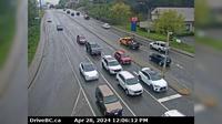
Delta › West: Hwy 17A, at Hwy 10 (Ladner Trunk Rd), looking west
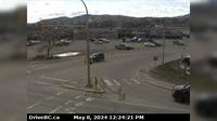
Surrey › South: Hwy 15 at 8th Avenue, in South - looking south
Kaleden › South: Hwy 97 at Hwy 3A junction, just south of - Weigh Scale, looking south
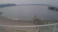
West Vancouver › South: Ambleside Beach - English Bay
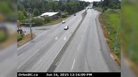
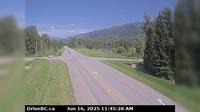
Burns Lake › West: Hwy 16, in - at N. Francois Hwy, looking west
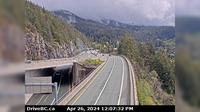
Elkford › West: Hwy 43 at Fording River Road in - looking west
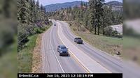
Elko › North: Hwy 3, about 10km south of Fernie at Morrissey Jct, looking north
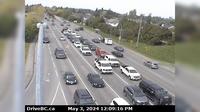
West Vancouver › East: Hwy 99 at Hwy 1 ramp to Horseshoe Bay, looking east
Burns Lake › South: Hwy 16, in - at N. Francois Hwy, looking south
Mission › West: Hwy 7 at Hwy 11 approaching - looking west
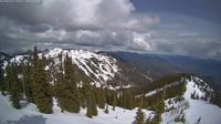
Rossland: Red Mountain Ski Resort
Grandview › East: Hwy 99 at 16th Avenue, looking east
Explore by Continent
Europe
Asia
South America
Oceania
North America
Africa


Discuss