Live Cams
Countries
Featured Cams
Get A Cam
Live Cams
Countries
Featured Cams
Get A Cam
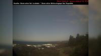
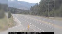
Area E › South-West: Clinton/Bleibler Ranch Airport | Live Webcams
Webcam & Weather Report
See.cam
North America
CA
British Columbia
Area E
Area E › South-West: Clinton/Bleibler Ranch Airport
Current Still
Timelapse
Daylight Still
Webcam was last updated 1 years ago
Rating
Webcam Views
Map
Discuss
See more webcams in
British Columbia
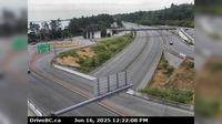
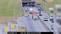
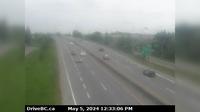
Sidney › South: Hwy 17 at McTavish Road, looking south
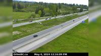
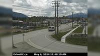
Delta › North: Hwy 99 from north of Hwy 17A overpass, looking north
Whistler Resort Municipality: Whistler
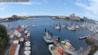
Victoria: Victoria Harbour
Ucluelet › West: AmphitritePointLighthouse
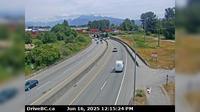
Vancouver › West: Hwy 91 (East-West Connector) at No.6 Road, looking west
Township of Langley › East: Hwy 1, at 232nd Street Overpass, looking east
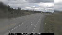
Clinton › North: Hwy 97, 8 km north of - just before Big Bar rest area, looking north
Port Coquitlam › East: Hwy 7B, on Mary Hill, looking east
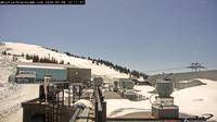
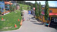
Silver Star Mountain Resort: Silver Star Mountain - Village
Boothroyd 8A › North: Hwy 1 at Kahmoose Rd in Boothroyd, 12 km north of Boston Bar, looking north
Creston › South-East: Hwy 3 and Hwy 3A junction at - looking southeast
Explore by Continent
Europe
Asia
South America
Oceania
North America
Africa


Discuss